The forge at Hillhead - the "door into the dark".

The Lagans Road - the walk to school
The meeting-hall of the Ancient Order of Hibernians (now demolished) close to Mossbawn
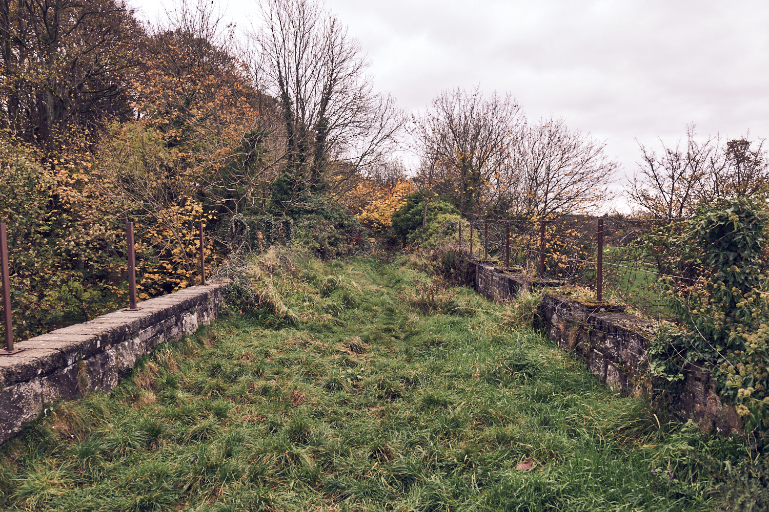
The old railway line to Castledawson
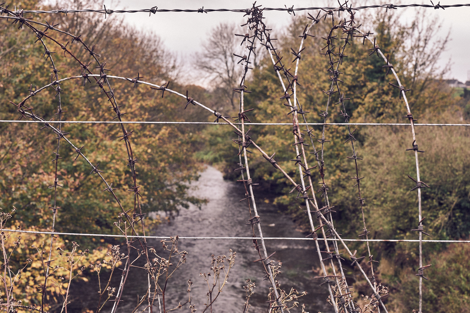
Moyola river from the old railway
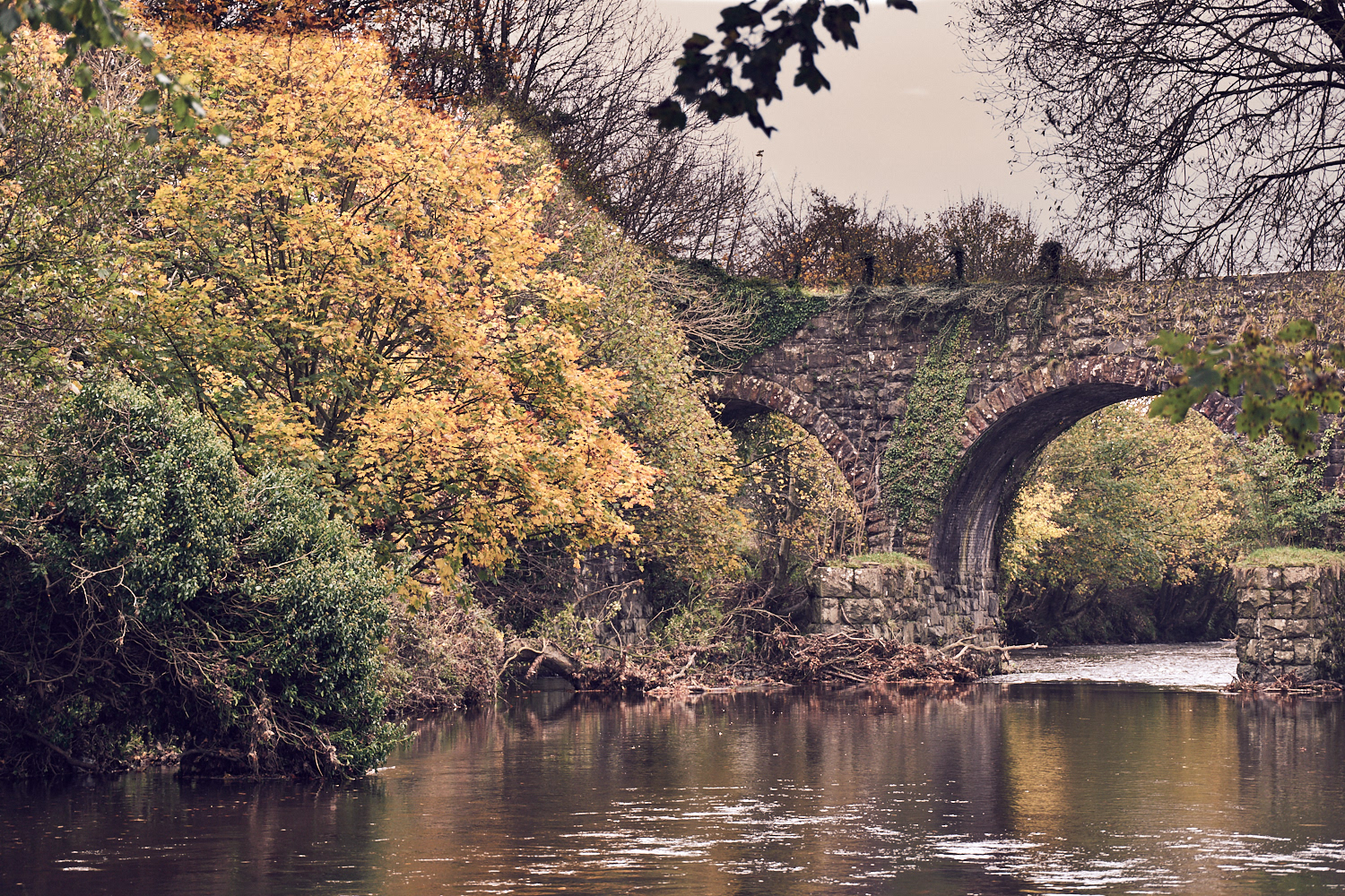
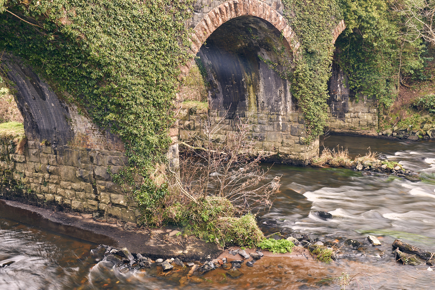
The old railway bridge
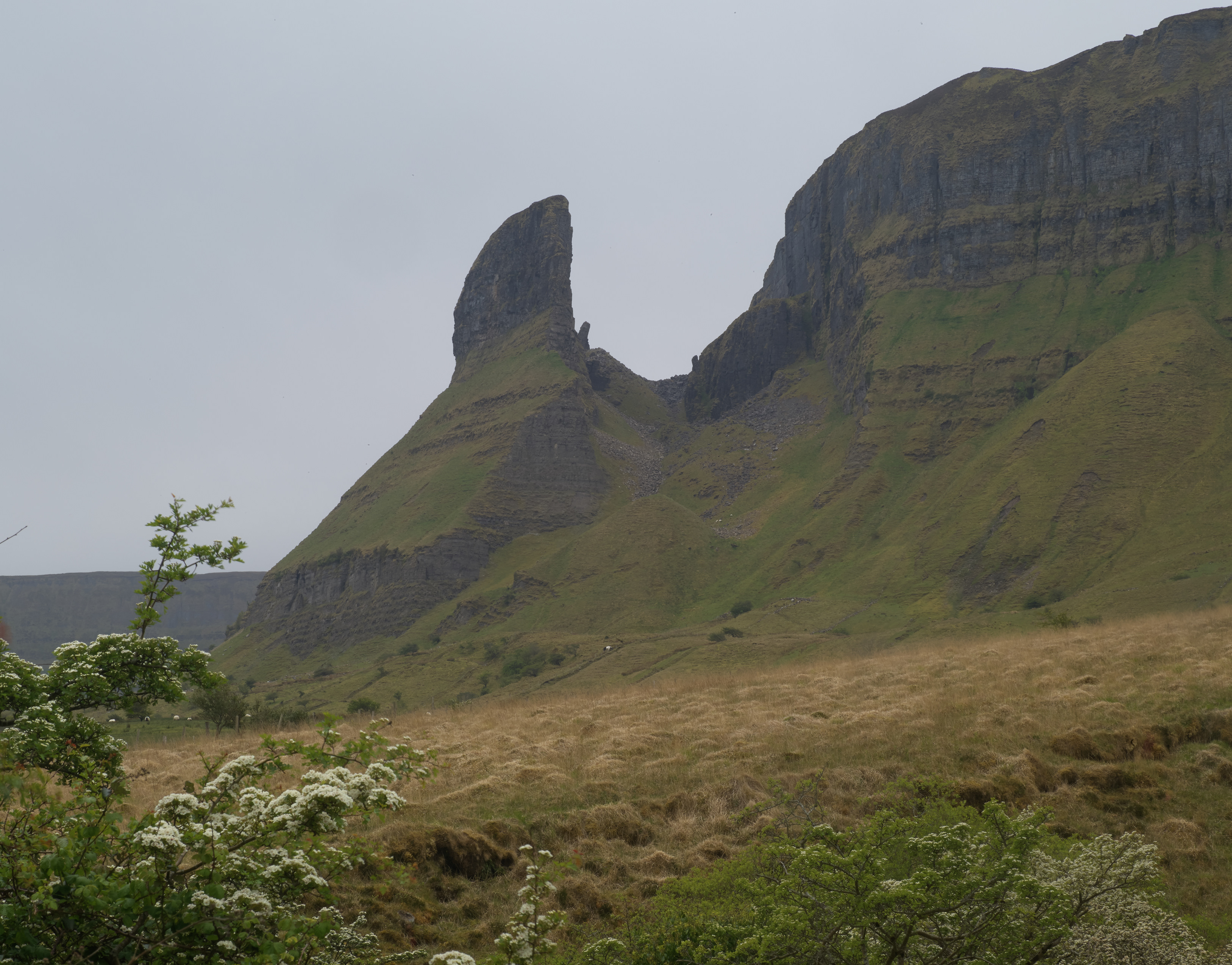
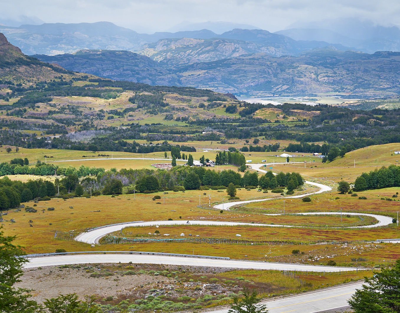
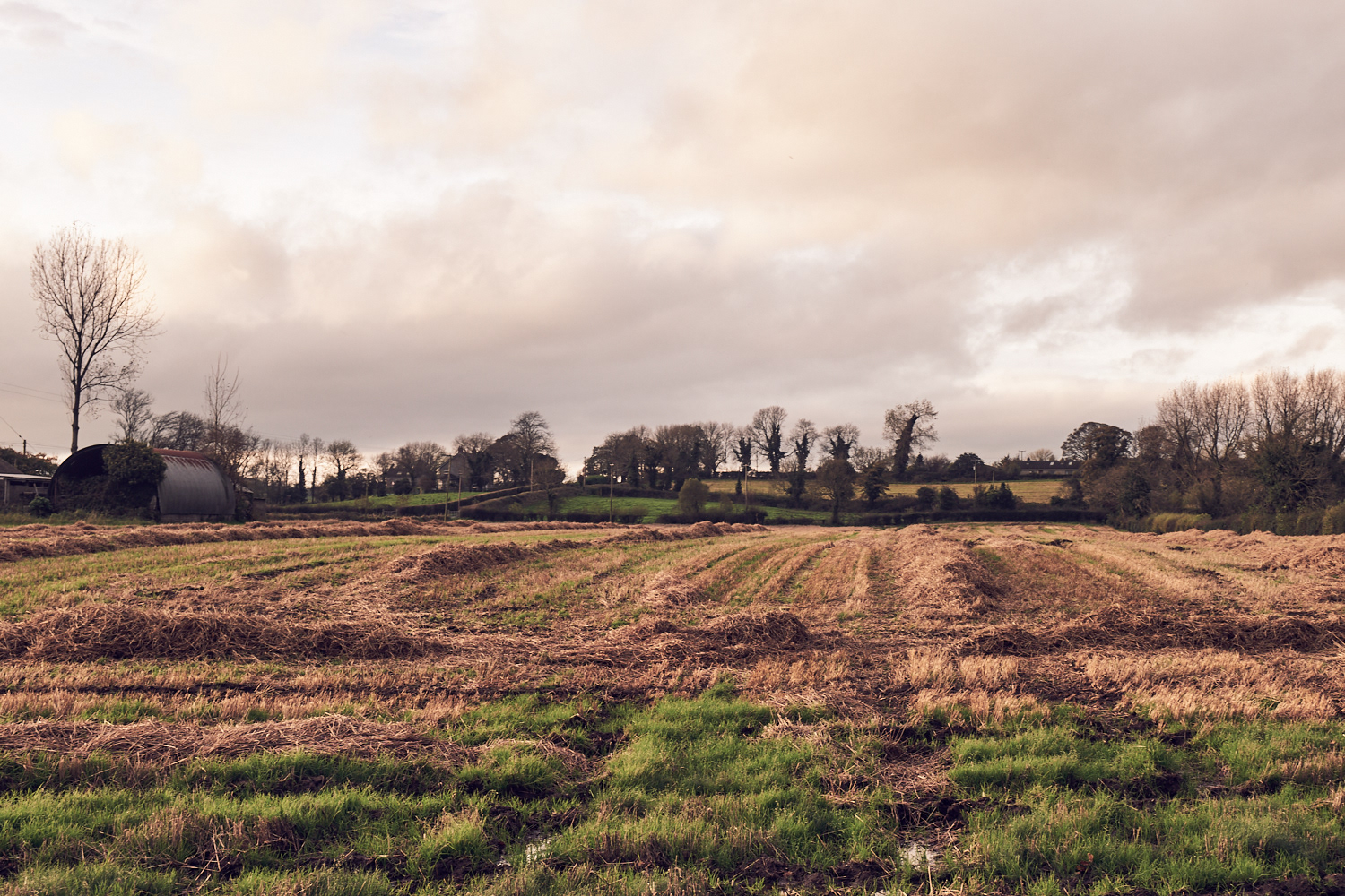
Near Bellaghy
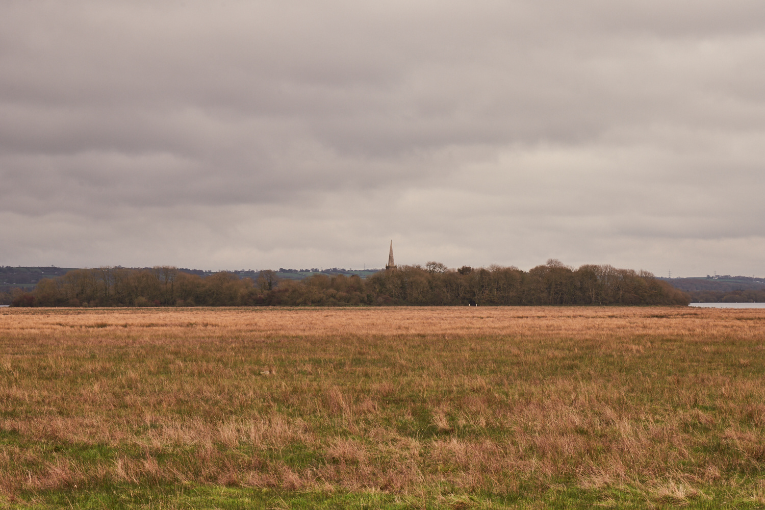
Farmland near Lough Beg
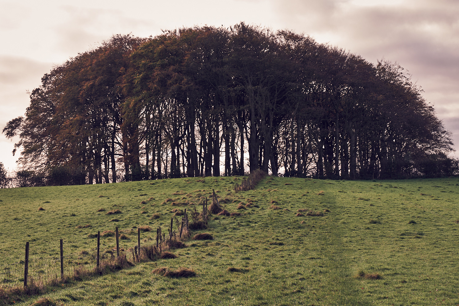
North of Castledawson
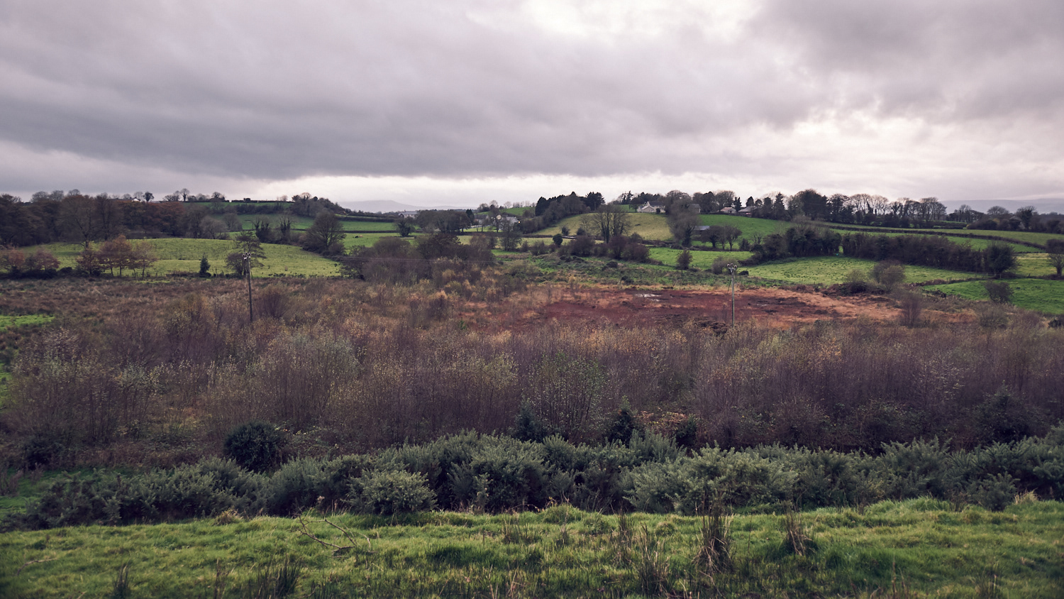
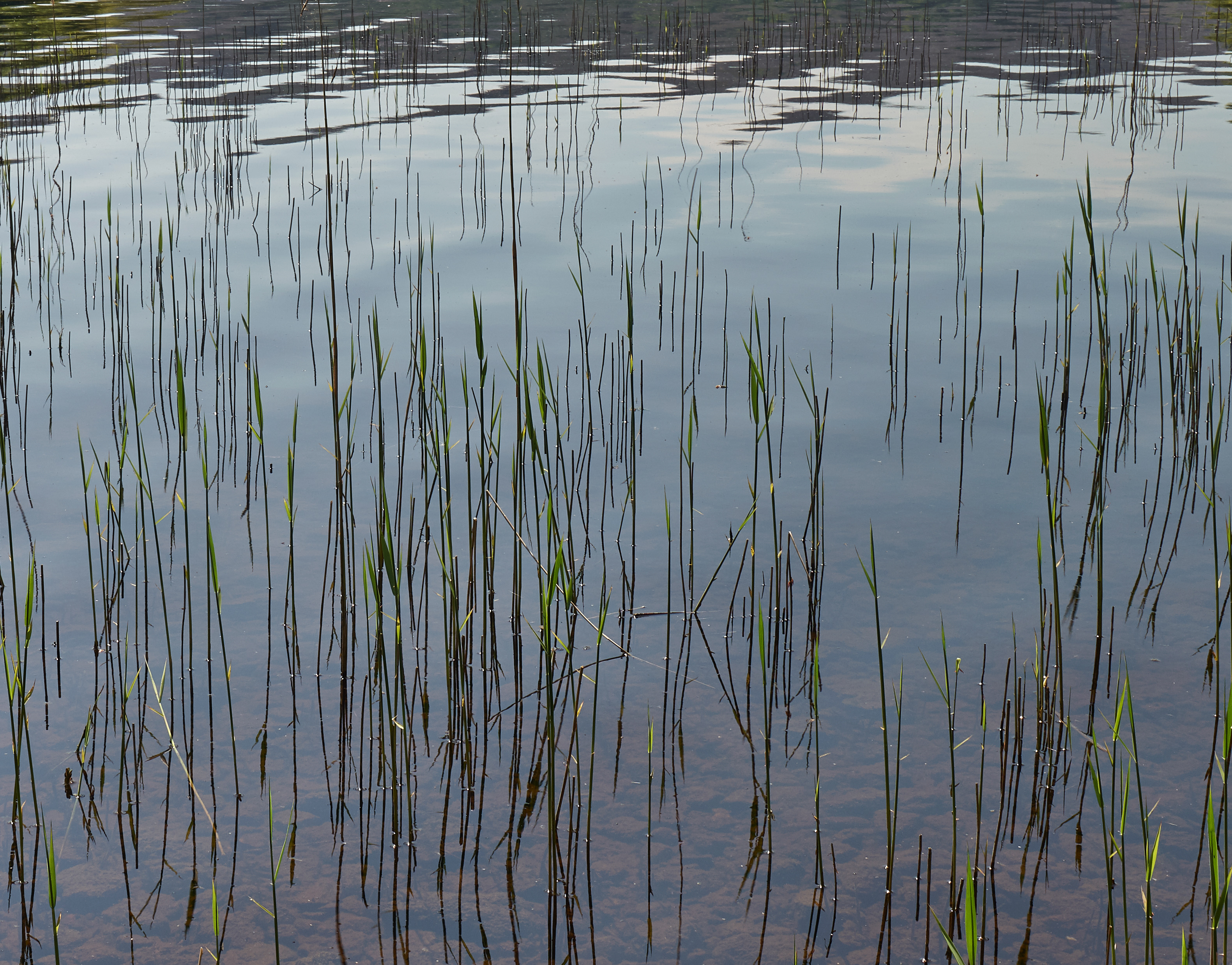
Bogland
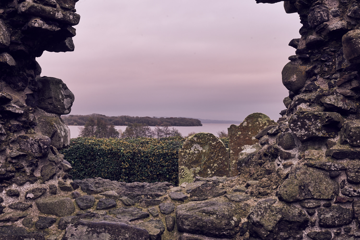
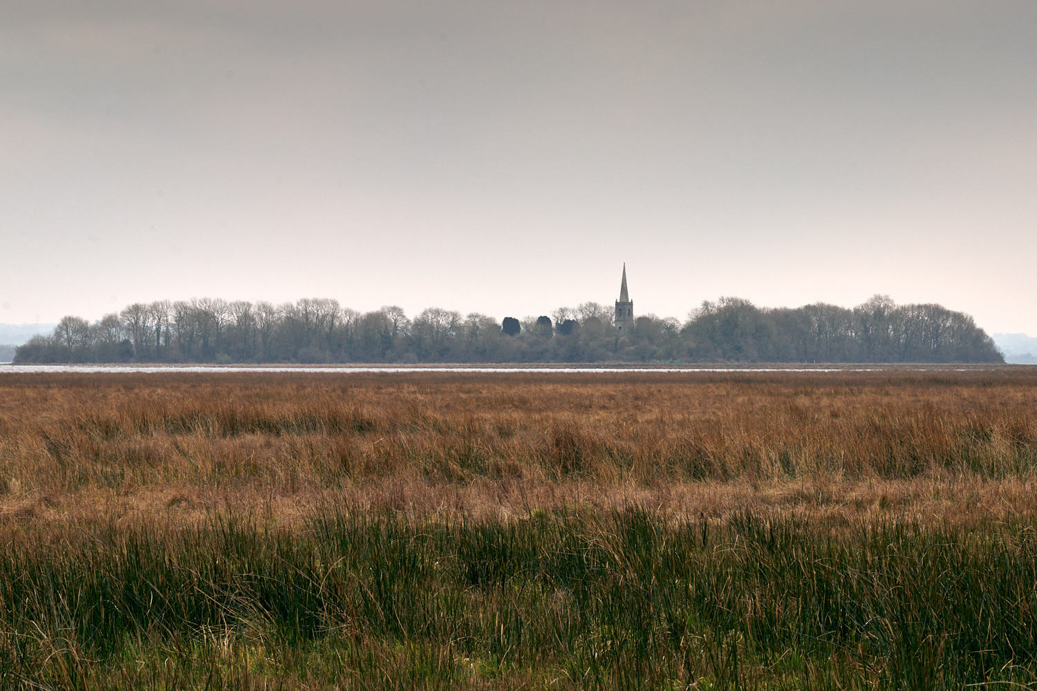
Church Island on Lough Beg

The Moyola river as it flows into Lough Neagh
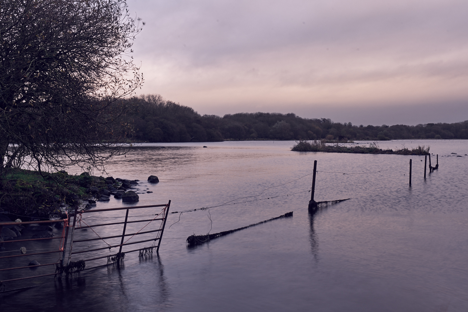
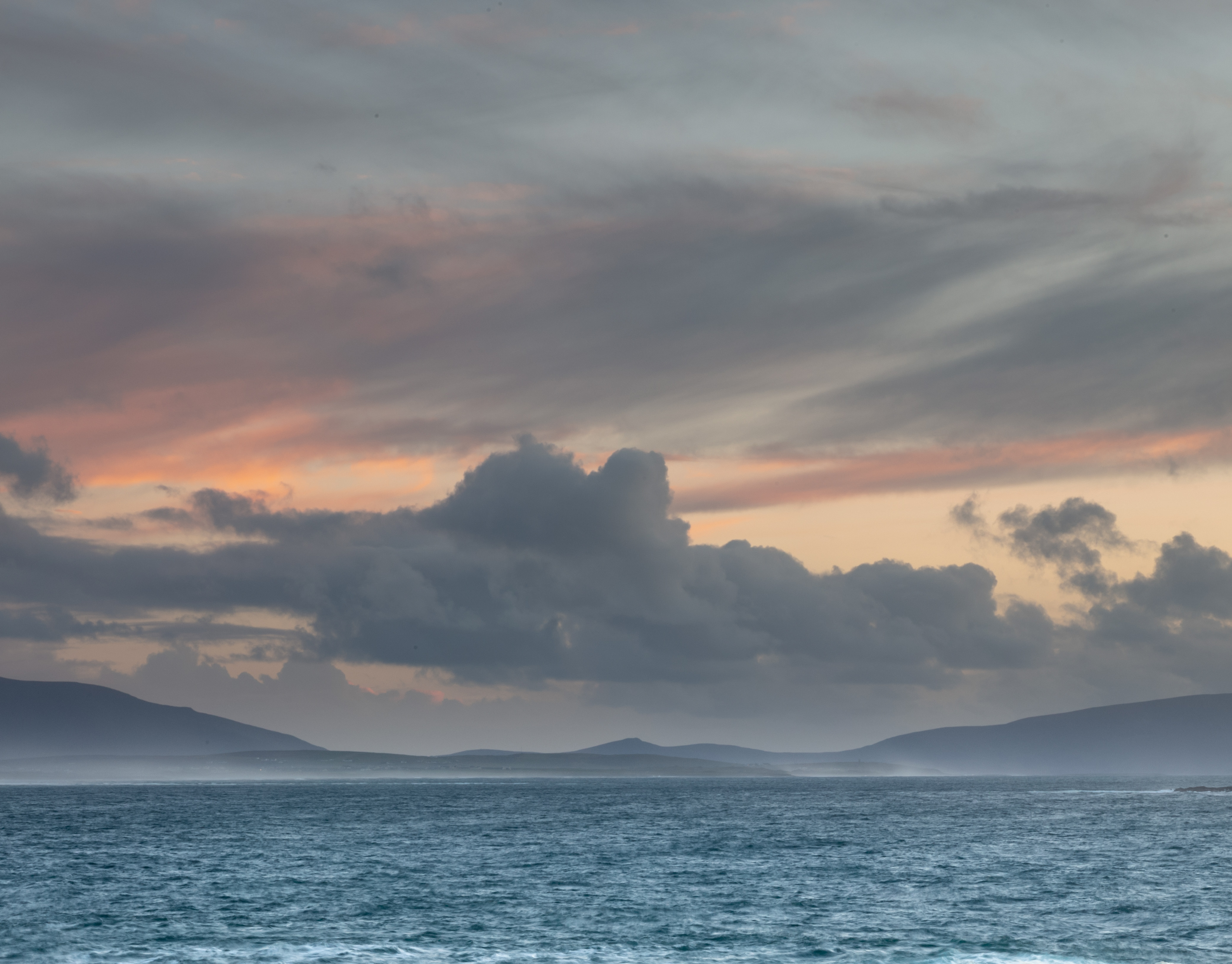
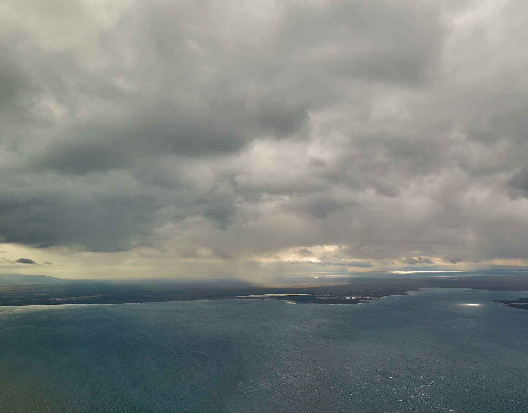
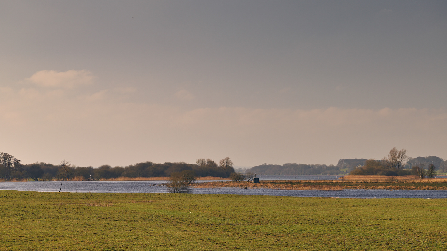
Lough Neagh (northern shore)
Cranfield Church at Holywell

Moyola River - view upstream (24/02/2018)
Moyola River - beneath the old railway bridge (24/02/2018)
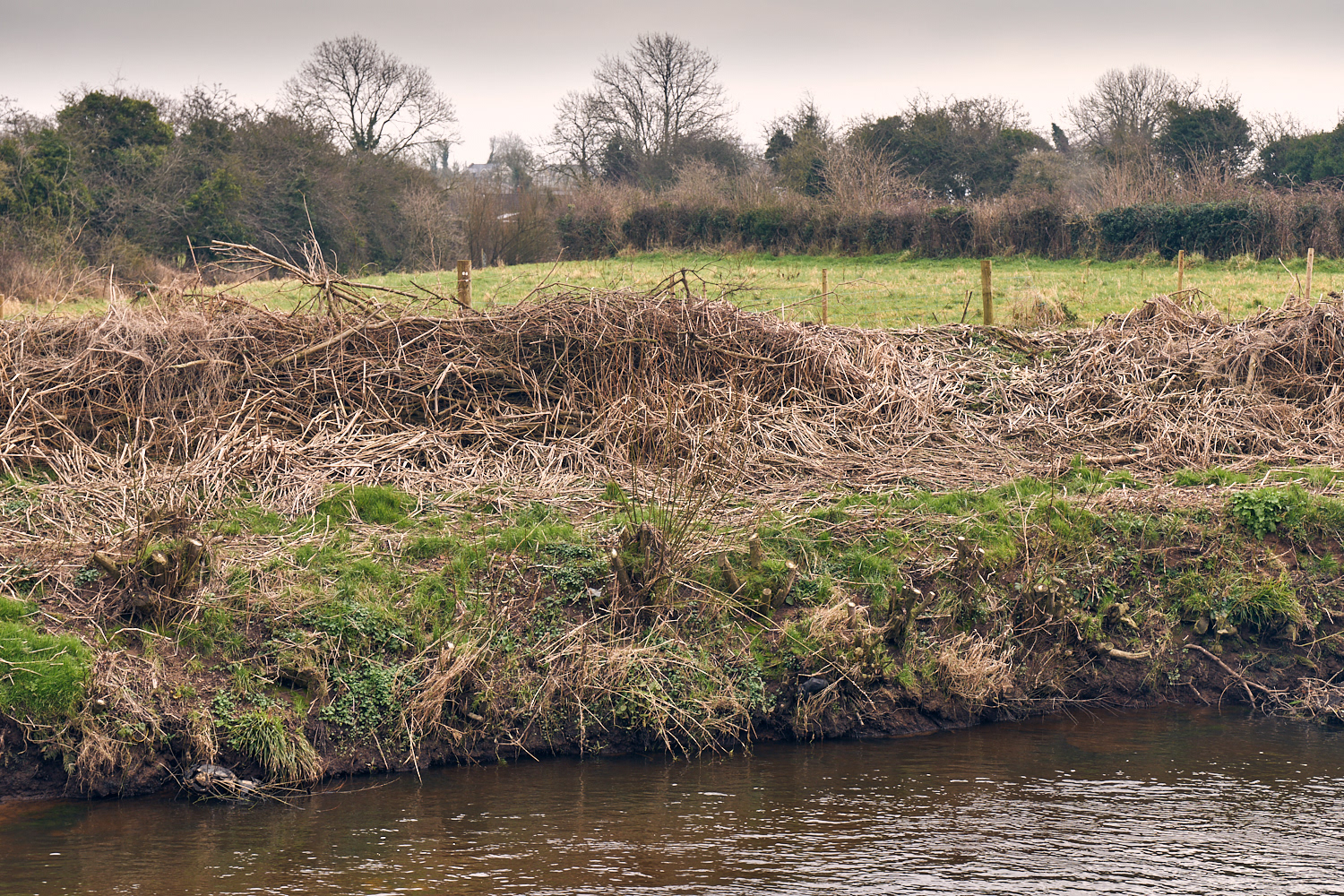
The "Riverbank field" (24/02/2018)

Moyola River - eddies (24/02/2018)

The "football field" near Mossbawn (24/02/2018)
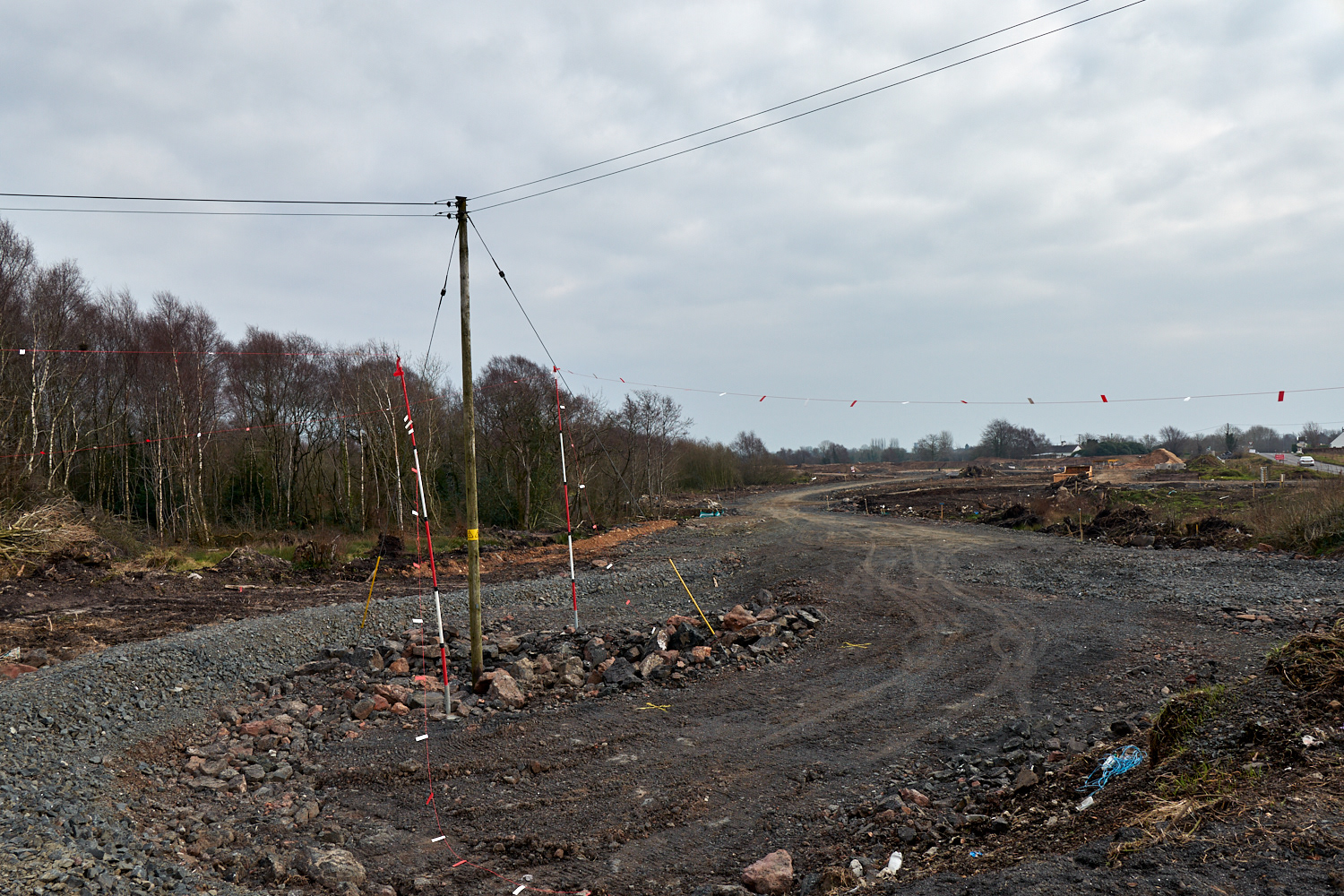
Motorway construction near Mossbawn (24/02/2018)
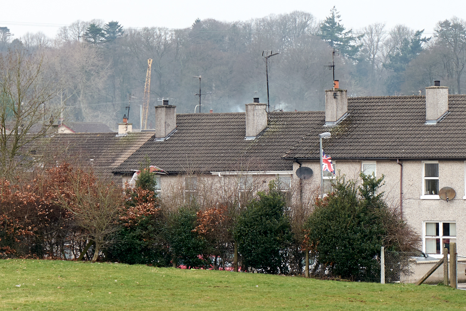
Protestant estate at Castledawson (24/02/2018)

St Mary's Catholic Church, Bellaghy (24/02/2018)
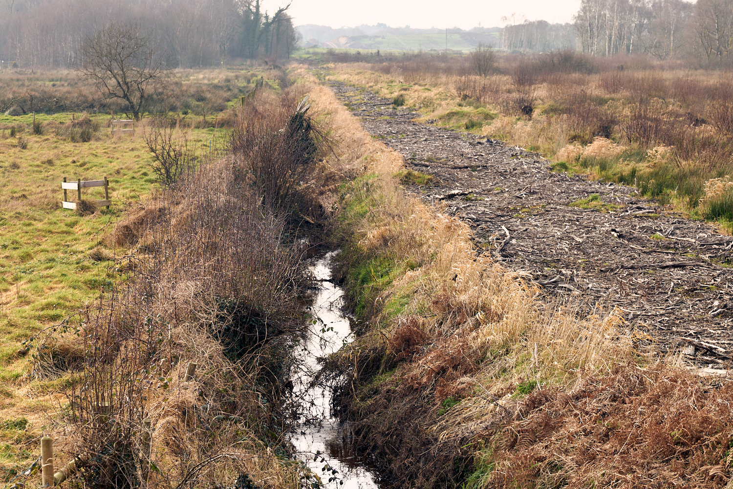
The Sluggan (24/02/2018)
The River Bann at Newferry (25/02/2018)
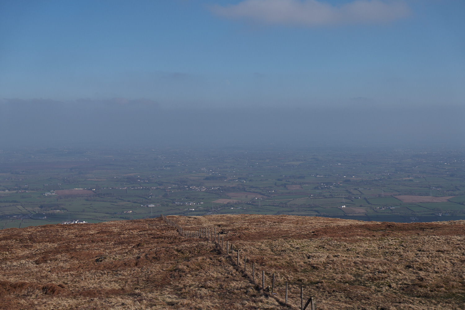
Slieve Gallion (25/02/2018)

Crosses atop Slieve Gallion (25/02/2018)
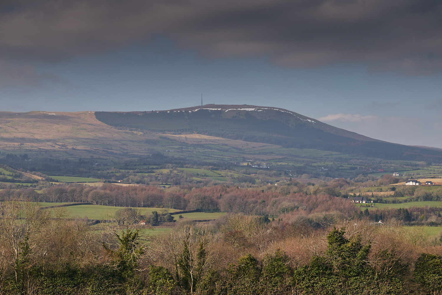
The "Heaney country" from Slieve Gallion (25/02/2018)

Cottage amidst fields (27/02/2018)
Church Island 1 (24/02/2018)
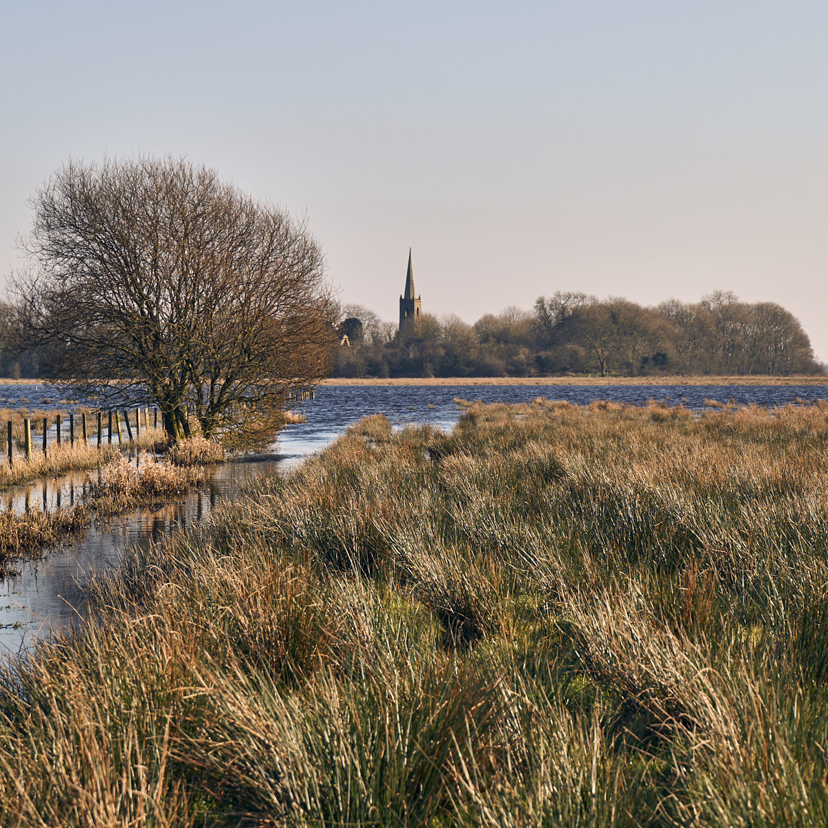
Church Island 2 (25/02/2018)
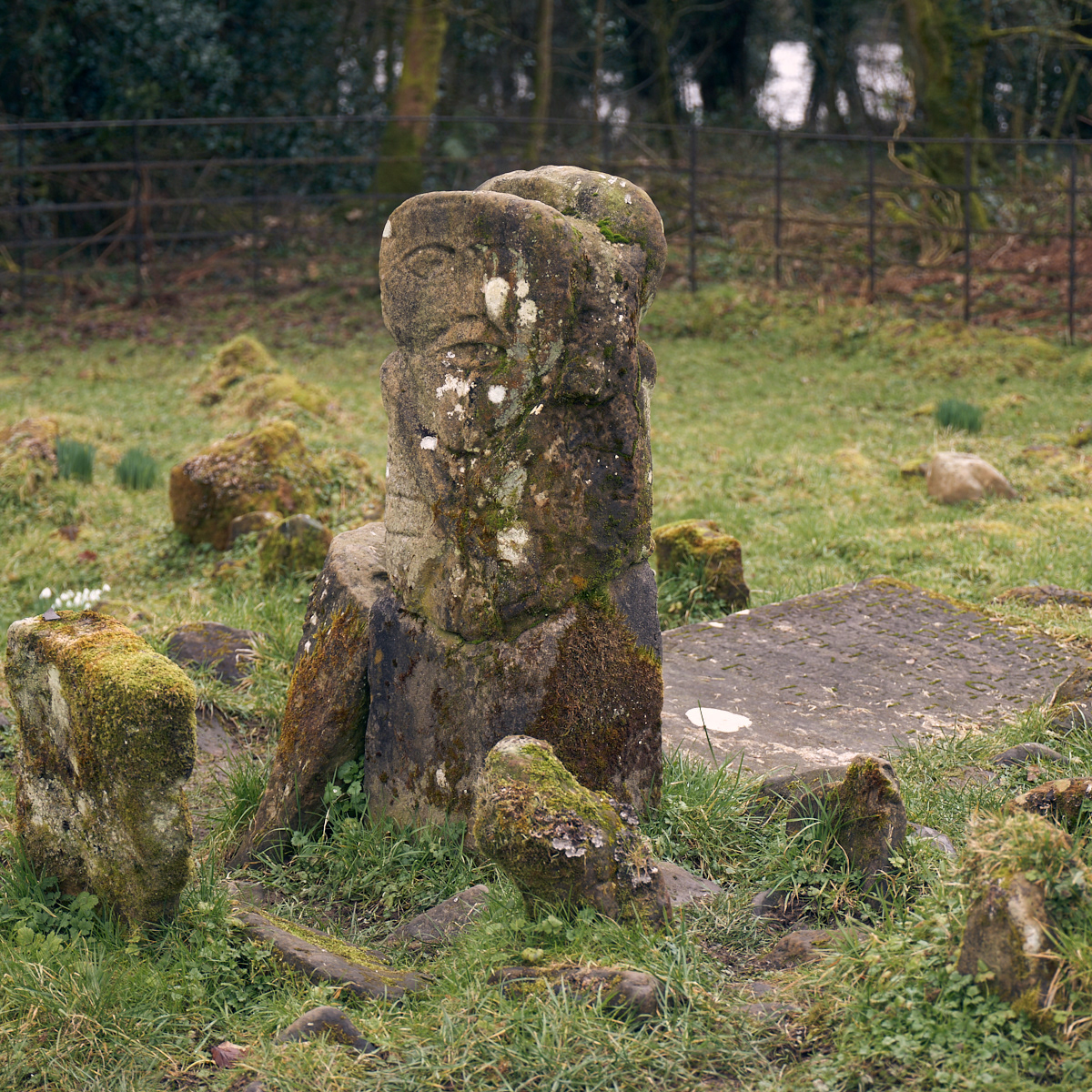
The "January God" (Boa Island) 1 (26/02/2018)
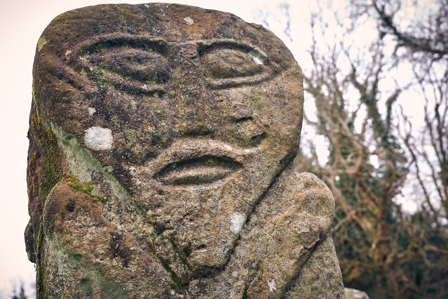
The "January God" (Boa Island) 2 (26/02/2018)
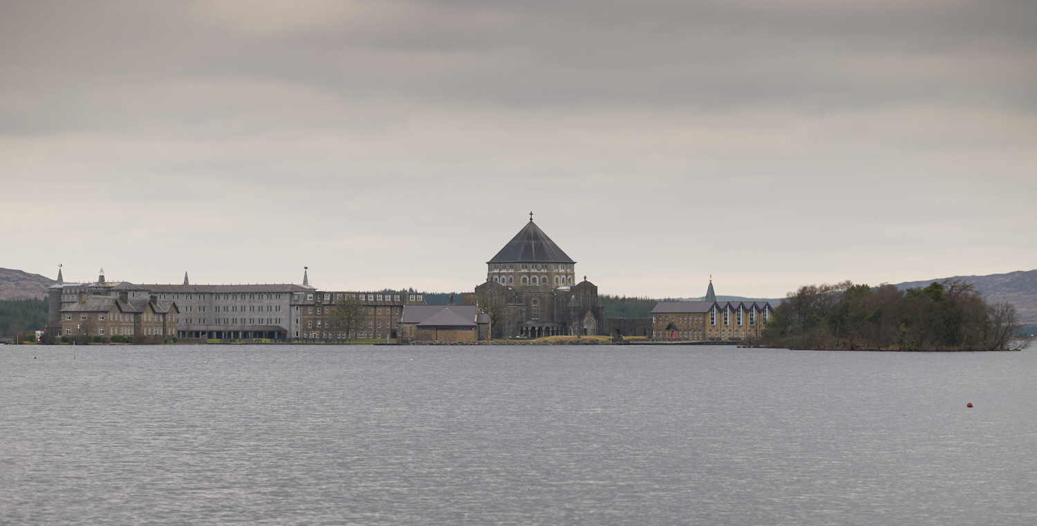
Station Island (27/02/2018)
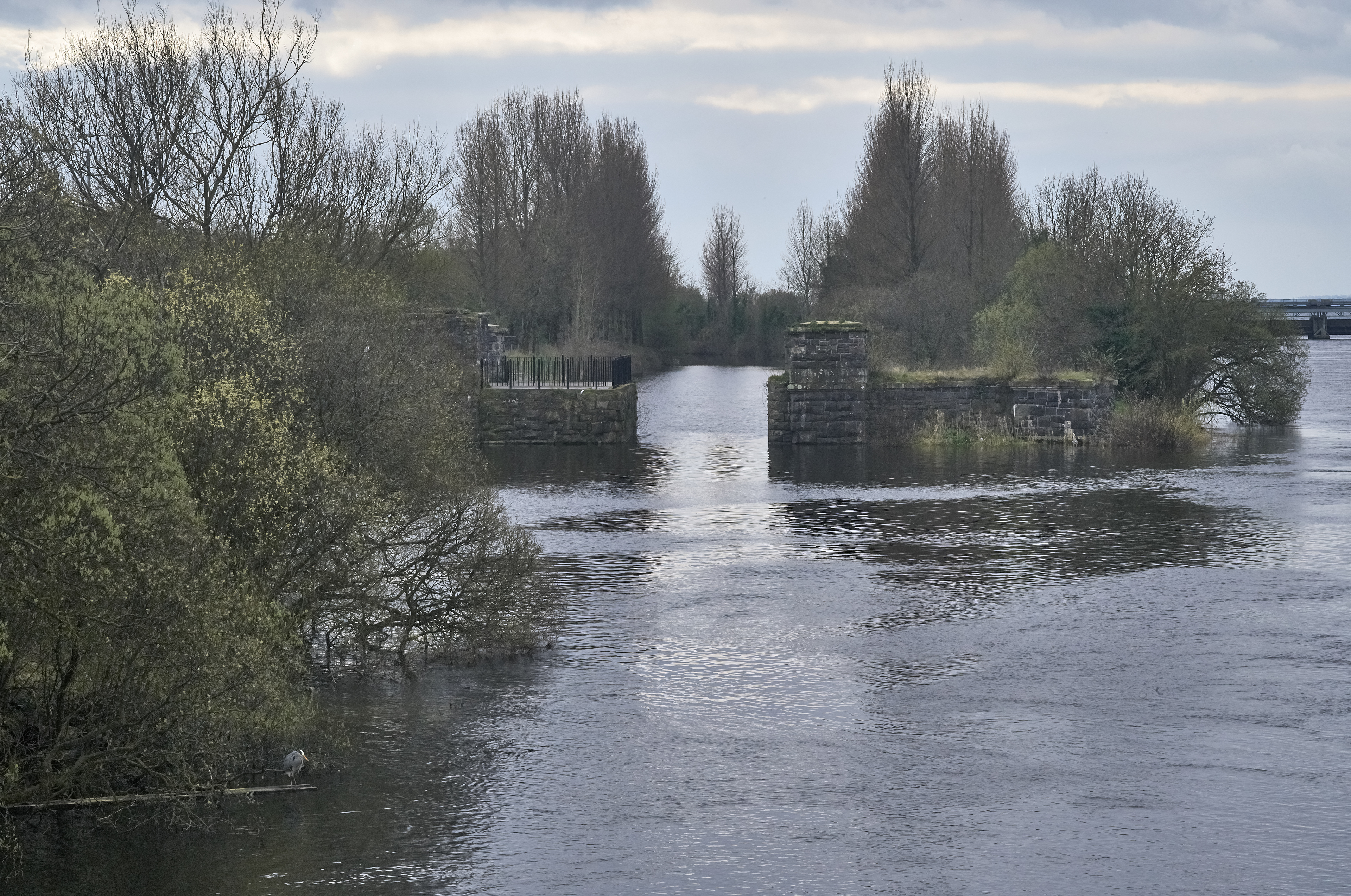
The Toome canal and River Bann outflow

The Toome canal
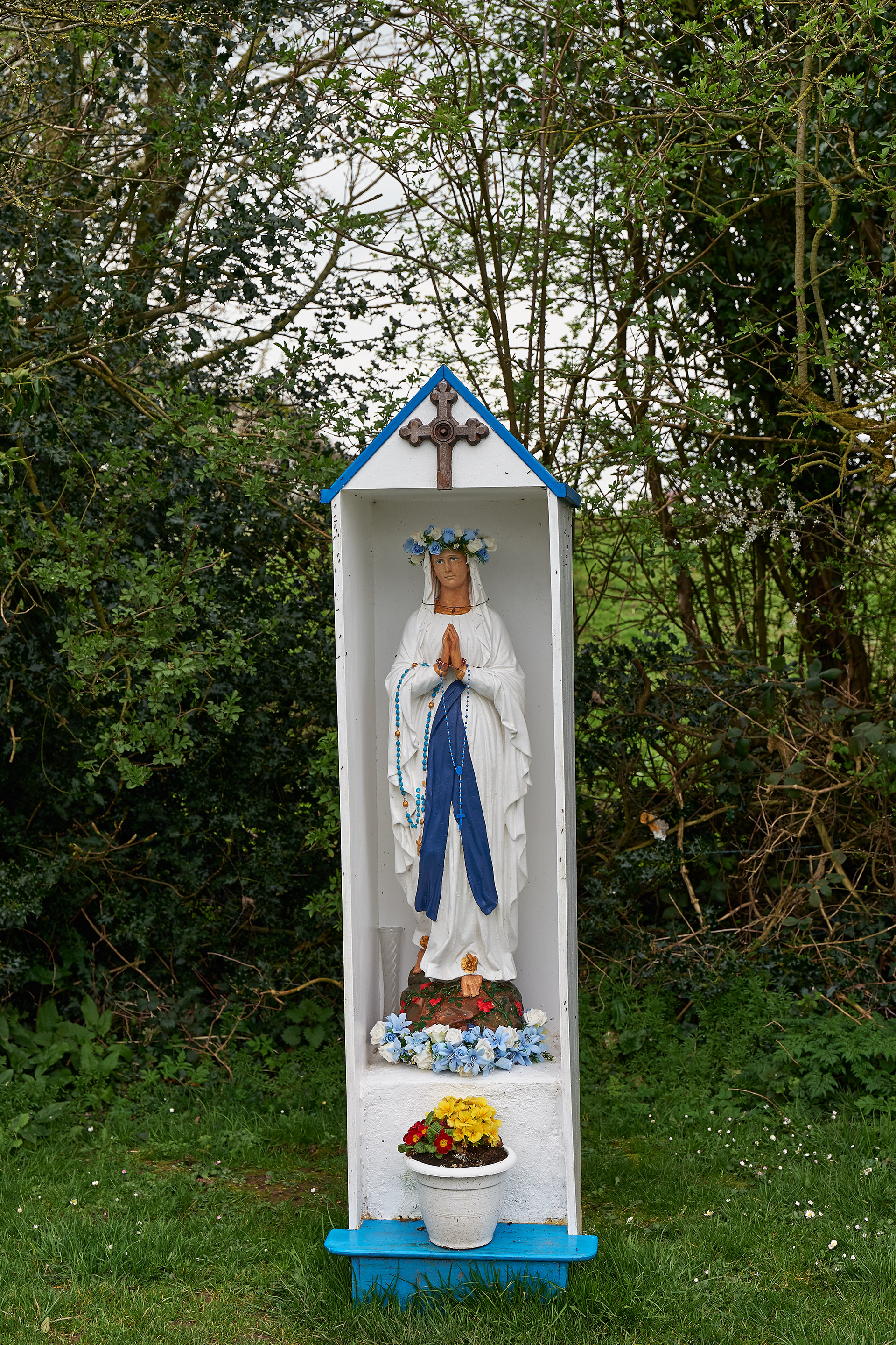
Shrine by the Toome canal
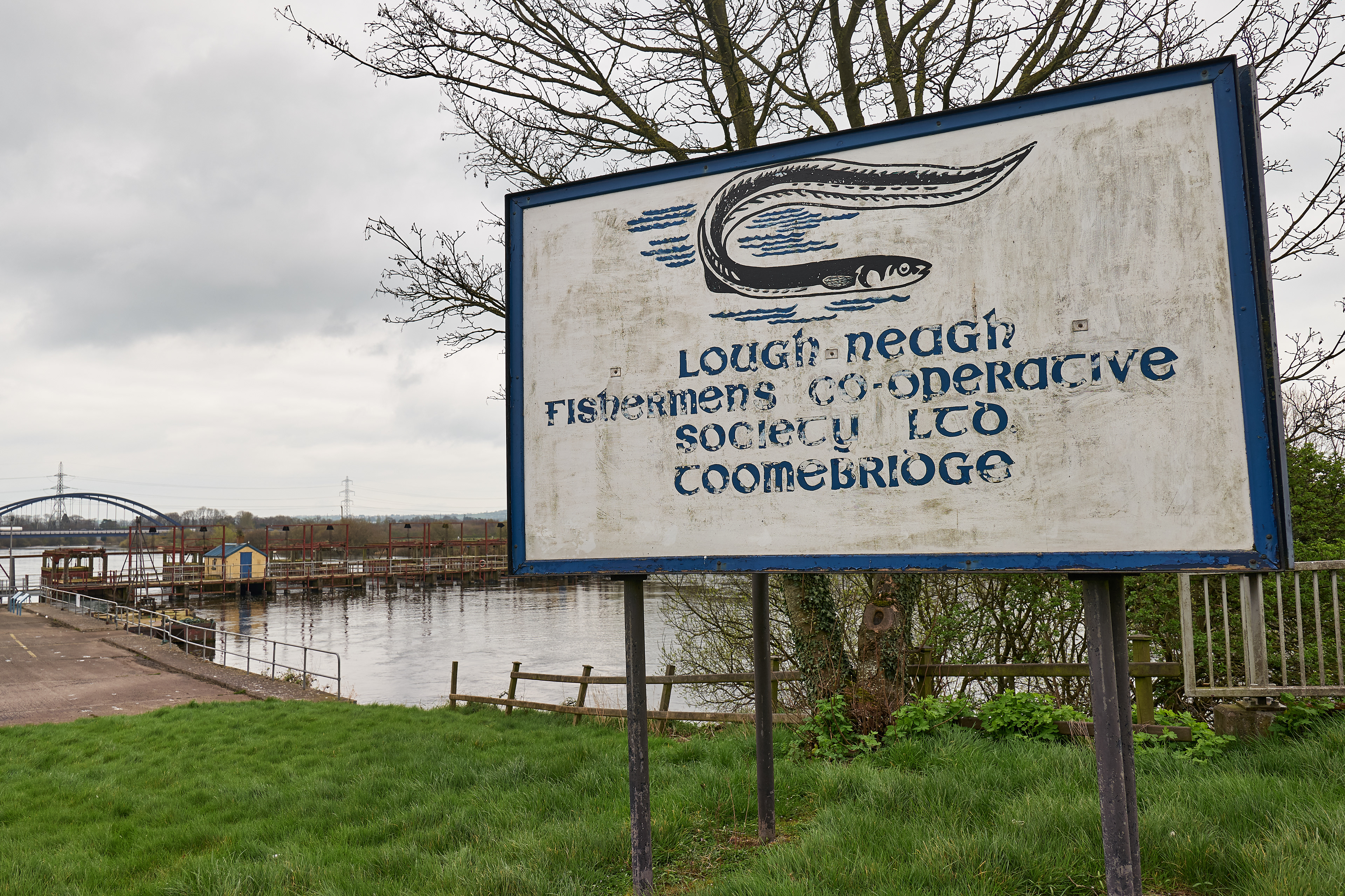
Toomebridge - the "eelworks".

St Mary's churchyard, Bellaghy
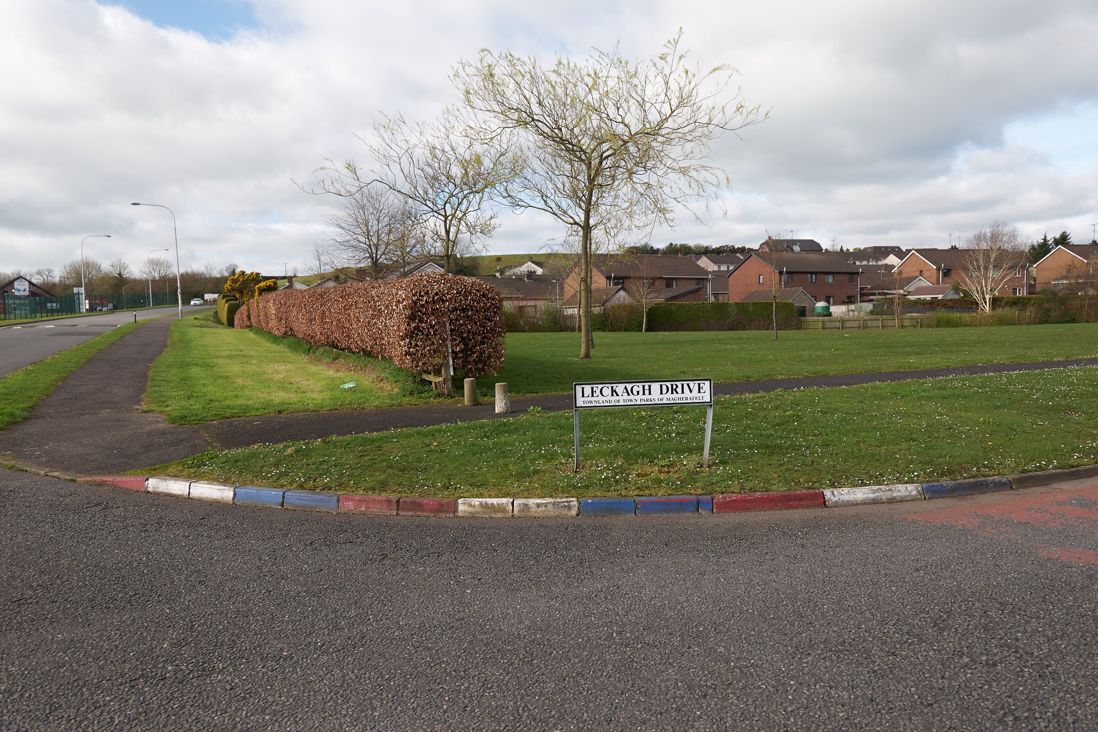
Leckagh Drive, Magherafelt

Mural, Leckagh Drive

From Slieve Gallion looking towards Lough Neagh
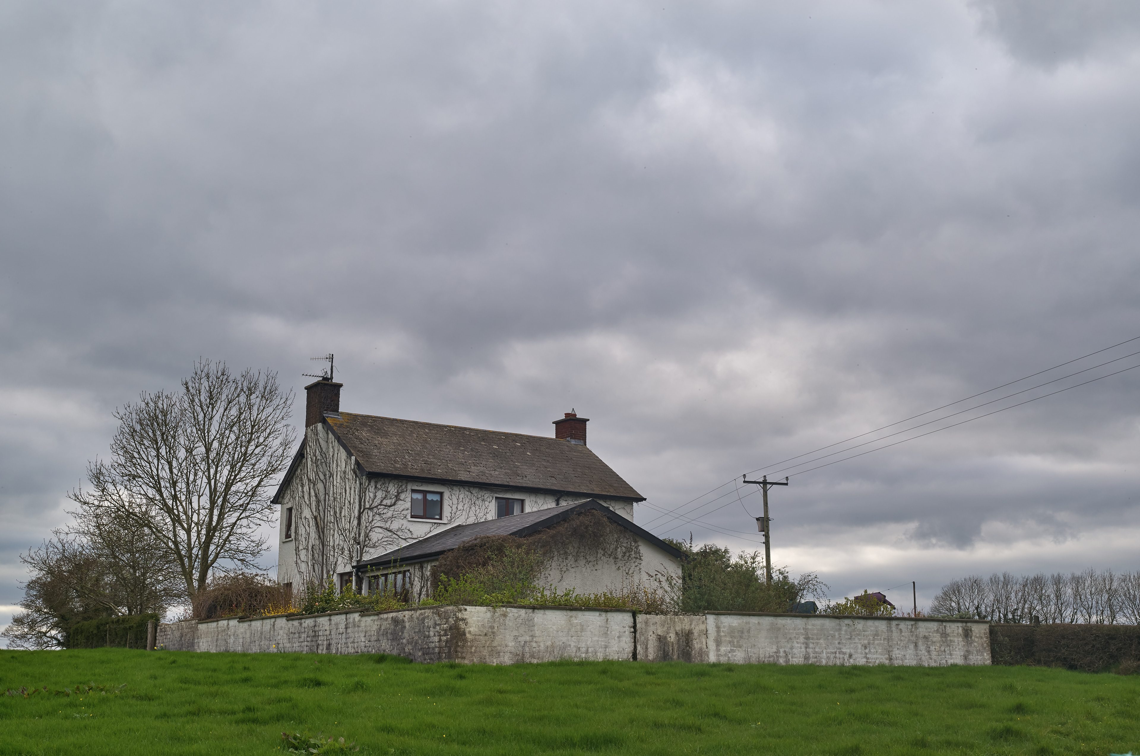
The house at The Wood
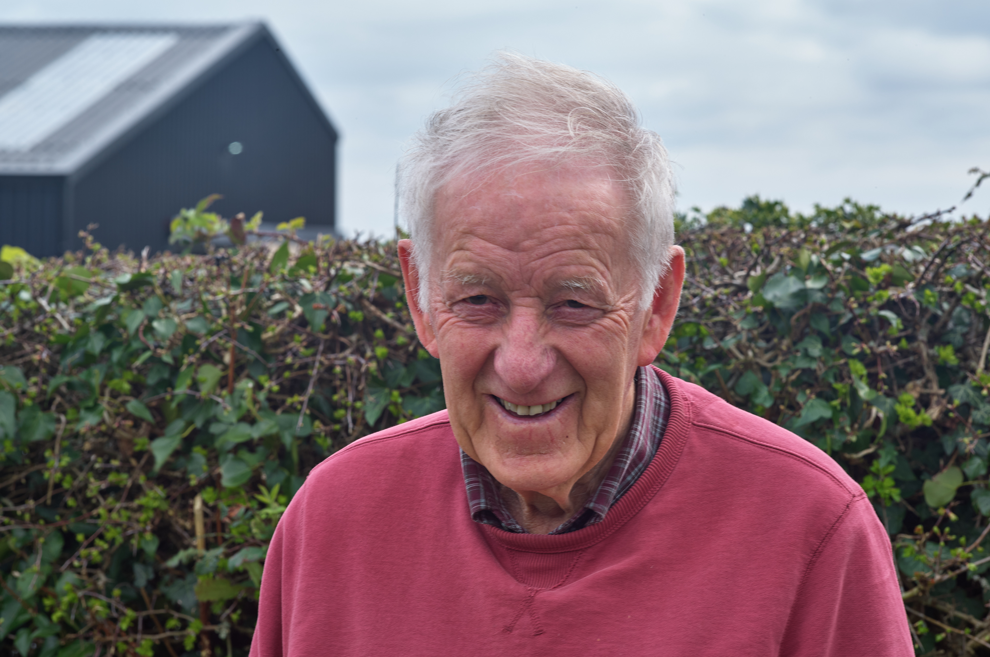
Hugh Heaney
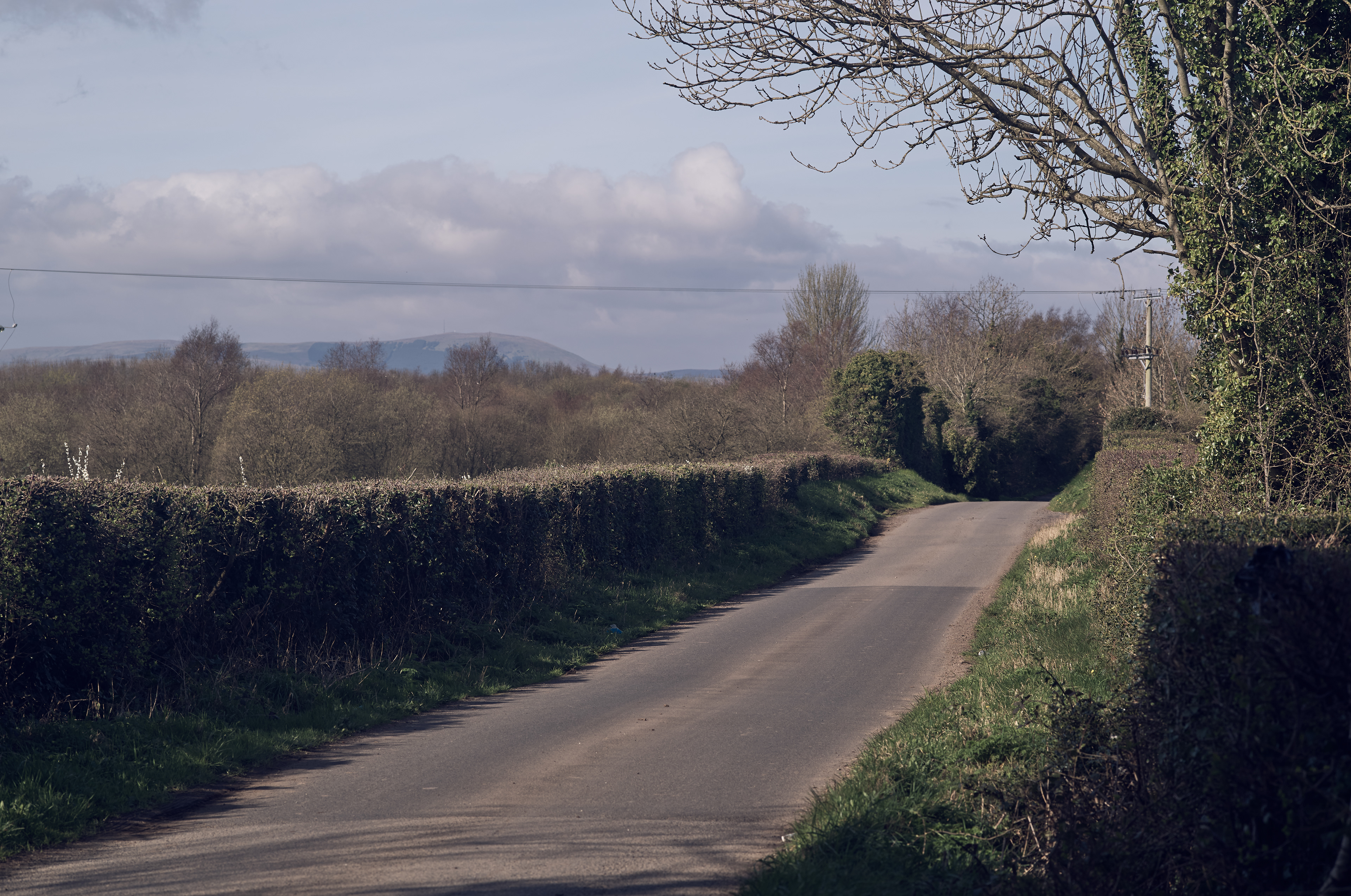
Top of the Lagans Road
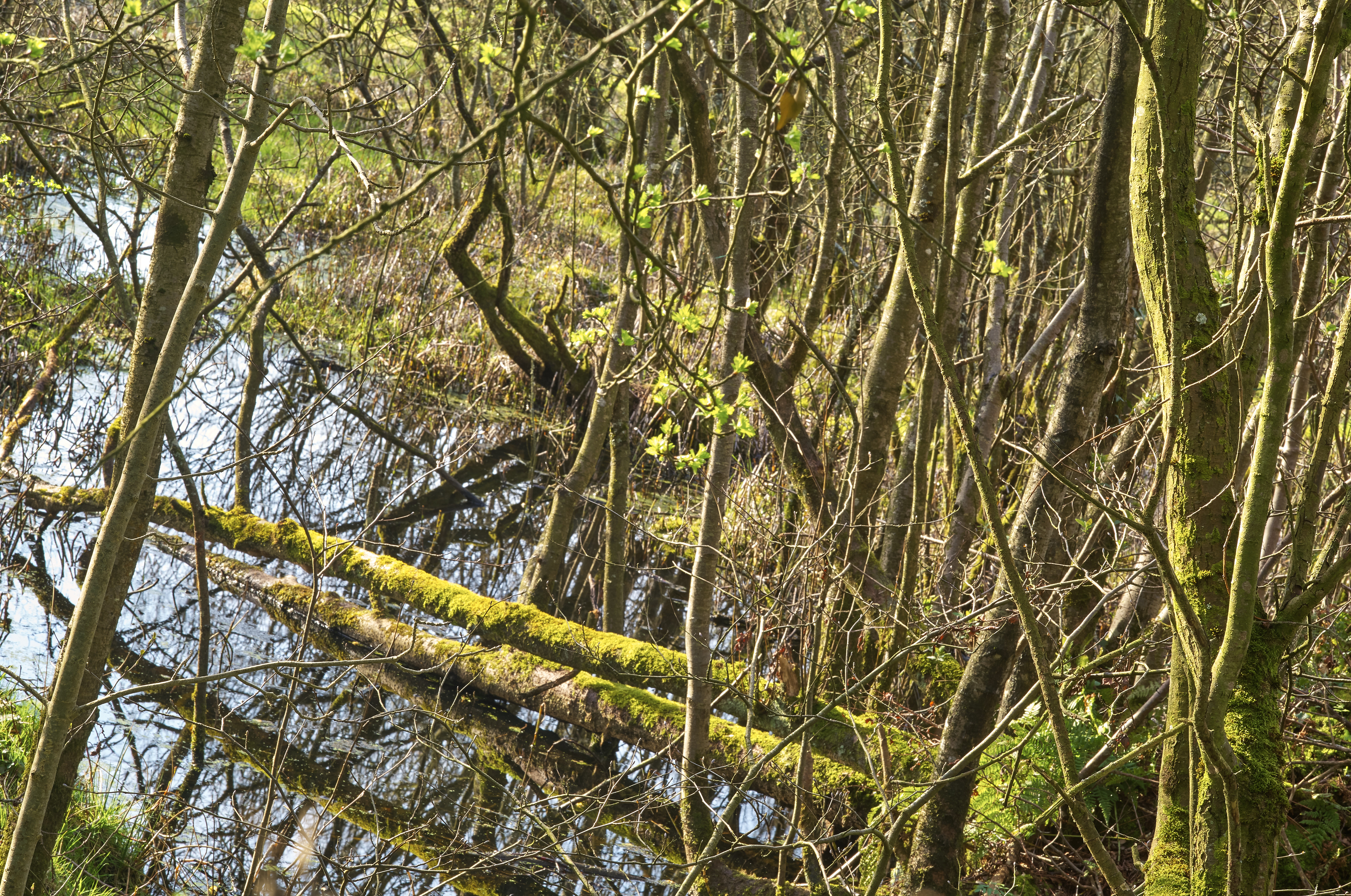
Wetland by the Lagans Road
The Irish border (Termon River bridge, County Fermanagh/County Donegal)